Los Angeles County's soil diversity is shaped by millennia of geological forces — alluvial river deposits, coastal marine sediments, granitic mountain weathering, and volcanic influences from the Transverse and Peninsular Ranges. Whether you're gardening in the San Fernando Valley, landscaping a hillside in the Santa Monica Mountains, or farming in the Antelope Valley, knowing your local soil type is foundational to sustainable land stewardship across Southern California's Mediterranean climate.
Complete Guide to Los Angeles County Soil Types and Management
Los Angeles County contains five major soil types across its 4,751 square miles: fertile alluvial valley soils, water-retentive clay soils, fast-draining sandy coastal soils, shallow rocky mountain soils, and heavily modified urban soils that often require contamination screening before use in food production.
Geological and Climate Foundation
The Natural Resources Conservation Service documents over 200 distinct soil mapping units across Los Angeles County through the Web Soil Survey. These soils formed through alluvial deposition from the Los Angeles River system, marine sediment accumulation along the Pacific coast, and the progressive weathering of granitic bedrock from the Transverse and Peninsular Ranges over tens of thousands of years.
Los Angeles County receives 12–15 inches of annual rainfall concentrated between November and March, producing distinct wet-dry cycles that govern soil chemistry, water movement, and plant-available nutrient dynamics. According to the UC Davis California Soil Resource Lab, approximately 60% of the county consists of urban land complexes with altered soil profiles, 25% remains natural mountainous terrain, and the remaining 15% comprises agricultural land and open spaces with relatively intact soil development.
Five Major Soil Categories
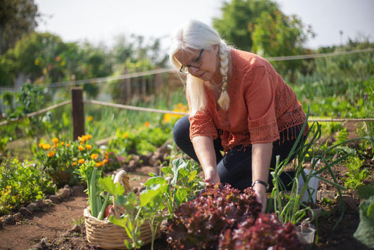
1. Alluvial Valley Soils
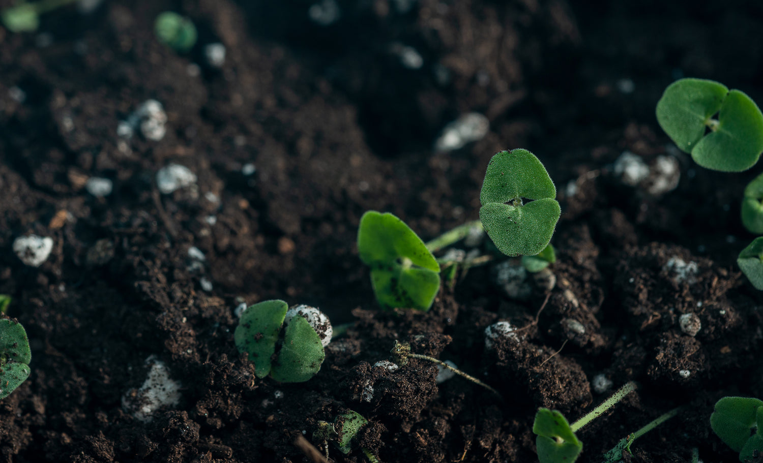
Alluvial soils cover approximately 1,200 square miles across the Los Angeles Basin, San Fernando Valley, San Gabriel Valley, and Antelope Valley. These fertile, well-drained soils formed from river-deposited sediments and typically extend 3–8 feet deep before reaching hardpan or bedrock. Key soil series include the Hanford series (coarse-loamy, well-drained, formed in granitic alluvium), the Tujunga series (excessively drained sandy soils), and the Soboba series (moderately well-drained with dark surface horizons). These soils contain 0.5–2.5% organic matter, maintain pH levels between 6.5–8.0, and show electrical conductivity below 2.0 dS/m — making them highly suitable for agriculture with proper irrigation management.
2. Clay-Rich Soils
Clay soils span approximately 400 square miles, primarily in areas underlain by marine sedimentary parent materials and lower valley bottoms. With clay content exceeding 35%, these soils exhibit significant shrink-swell behavior during wet-dry cycles but provide excellent water storage capacity. The Cropley series (fine, smectitic, thermic Typic Haploxererts) represents the most extensive clay soil type — very deep and moderately well-drained. Clay soils hold 0.15–0.20 inches of available water per inch of soil depth, compared to just 0.05–0.10 inches for sandy soils, but their infiltration rates fall below 0.1 inches per hour, creating drainage challenges during heavy rainfall events.
3. Sandy Coastal Soils
Sandy soils cover approximately 300 square miles along the 75-mile Pacific coastline and in areas with granitic parent materials further inland. These soils drain rapidly — with infiltration rates exceeding 6 inches per hour — but have limited water and nutrient retention capacity. The Beaches and Dunes association dominates immediate coastal areas, while the Arlington and Fallbrook series occur in inland granitic regions. With organic matter content typically below 1%, sandy soils require 2–3 times more frequent irrigation than clay soils and benefit significantly from compost additions to improve water-holding capacity.
4. Rocky Mountain Soils
Mountainous regions covering approximately 1,800 square miles feature shallow, rocky soils such as the Cieneba series and Rock outcrop associations. These soils range from 6–36 inches deep before reaching bedrock and support roughly 500,000 acres of chaparral vegetation and 200,000 acres of coniferous forest. Despite containing 2–8% organic matter, they have limited agricultural potential due to shallow depth and steep slopes, but they provide critical watershed protection and wildlife habitat throughout the Angeles National Forest and surrounding public lands.
5. Urban Modified Soils
Urban land designations cover approximately 2,850 square miles and feature heavily disturbed profiles resulting from construction activities, fill placement, and contamination from decades of industrial land use. The USGS Background Soil-Lead Survey reports median lead concentrations of 150 mg/kg in urban soils compared to 75 mg/kg in undeveloped areas. These soils require contamination testing before use for food production, with particular attention to lead levels (EPA residential standard: 400 mg/kg), petroleum hydrocarbons near former gas stations, and perchlorate contamination in the San Gabriel Valley groundwater basin.
Environmental Challenges and Solutions
Wildfire Impacts and Recovery
CAL FIRE records approximately 1,500 wildfires annually in Los Angeles County, burning roughly 50,000 acres. High-intensity fires exceeding 752°F (400°C) destroy soil organic matter, disrupt aggregate structure, and create hydrophobic (water-repellent) surface layers that increase erosion rates by 10–100 times normal levels. Post-fire soil recovery requires 5–15 years for full organic matter restoration without active intervention.
The 2020 Bobcat Fire affected 115,796 acres and required emergency post-fire treatments including hydromulching on 15,000 acres, installation of check dams in critical watersheds, and native grass seeding to prevent catastrophic erosion during subsequent winter storms. CAL FIRE recommends immediate post-fire mulching and native seeding on burned slopes exceeding 15% grade.
Urban Contamination Management
The California Department of Toxic Substances Control identifies over 5,000 contaminated sites in Los Angeles County, including 75 federal Superfund sites. Common contaminants include petroleum hydrocarbons at approximately 25% of former gas station sites, lead paint contamination in pre-1978 residential areas, and industrial solvents near former manufacturing facilities. Safe urban gardening requires professional soil testing for lead, petroleum products, and volatile organic compounds before establishing food production. Raised bed systems with 6–12 inches of certified organic soil provide the most reliable protective barrier between contaminated native soil and food crops.
Erosion Control and Slope Stability
Construction activities expose approximately 10,000 acres annually in Los Angeles County, with erosion rates in developed areas — 2–5 tons per acre per year — far exceeding those of undisturbed natural areas at 0.1–0.5 tons per acre per year. The Los Angeles County Department of Public Works requires erosion control plans for all projects disturbing more than one acre. Effective control techniques include hydroseeding with native grass species (achieving 80–90% establishment rates when properly applied), erosion control blankets on slopes exceeding 25% grade, and terracing systems for slopes over 30% grade to reduce surface water velocity.
Soil Testing and Analysis
Professional Laboratory Testing
The UC Master Gardener Program recommends soil testing every 2–3 years for established landscapes and annually for intensive vegetable production. Basic nutrient and pH testing costs $25–$50 through certified laboratories, while comprehensive contamination screening ranges from $200–$500 depending on the number of analytes tested. The California Department of Food and Agriculture maintains a list of certified soil testing laboratories that follow standardized protocols for agricultural and environmental analysis.
Field Testing Methods
Cost-effective field assessments include the jar test for soil texture determination — combining 1 part soil with 2 parts water, shaking vigorously, and allowing 24-hour settling to observe sand, silt, and clay layer separation — percolation tests for drainage assessment (digging 12-inch holes and measuring water infiltration rates), and pH test strips for basic soil acidity measurement. These methods complement but do not replace professional laboratory analysis for contamination screening.
Sustainable Management Strategies
Organic Matter Enhancement
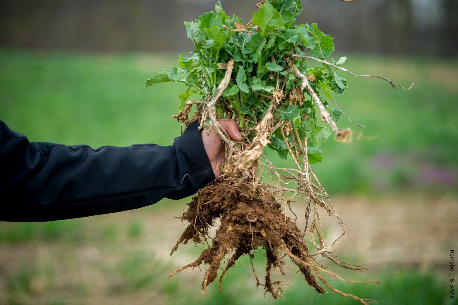
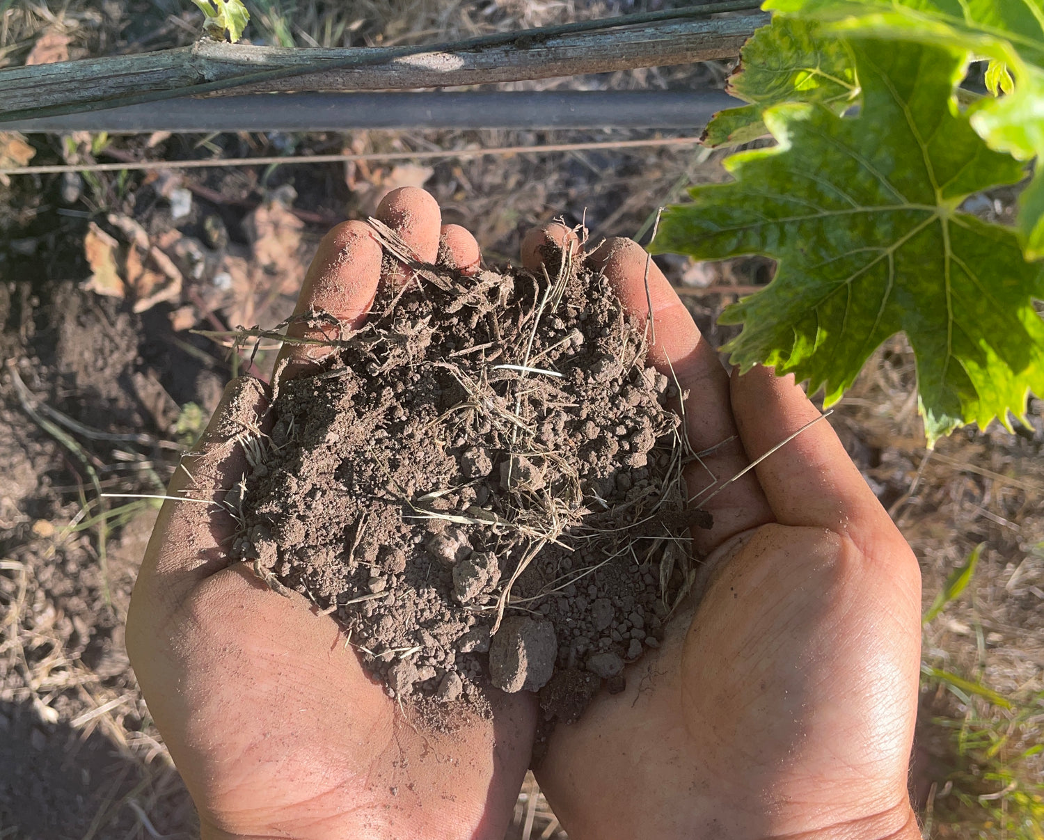
Adding 2–4 inches of compost annually can increase soil organic matter from typical levels of 1–2% to target levels of 3–5% over 3–5 years. Los Angeles County facilities produce approximately 500,000 tons of finished compost yearly from green waste and biosolids. Cover crop integration — particularly crimson clover and mustard species during winter months — adds 2,000–4,000 pounds per acre of organic biomass while providing nitrogen fixation and soil structure improvement. Biochar application at 1–2 tons per acre provides long-term carbon sequestration and improves water retention in sandy soils.
Native Plant Selection for Water Conservation
The California Native Plant Society lists over 1,000 native species suitable for Los Angeles County conditions, requiring 50–80% less irrigation than non-native alternatives once established. For clay soils, Ceanothus species (California lilac), Heteromeles arbutifolia (toyon), and Artemisia californica (California sagebrush) tolerate poor drainage while providing significant wildlife habitat value. Sandy soil native plants include Encelia californica (California encelia), Eriogonum fasciculatum (California buckwheat), and native bunchgrasses such as Stipa pulchra (purple needlegrass). The Metropolitan Water District of Southern California offers rebates of up to $3 per square foot for lawn conversion to native plants.
Water Management and Irrigation Efficiency
Proper irrigation system design matches precipitation rates to soil infiltration capacity: 0.5–1.0 inches per hour for clay soils, 1.0–2.0 inches per hour for loam soils, and 2.0+ inches per hour for sandy soils. Drip irrigation systems achieve 90–95% water application efficiency compared to 60–70% for overhead spray systems. Mulching with 2–4 inches of organic material reduces evaporation by 50–70% and moderates soil temperature fluctuations. Wood chips, shredded bark, and compost all provide effective mulch options, with decomposition rates ranging from 6 months for fine materials to 3+ years for coarse wood chips.
Practical Soil Management Process
- Conduct comprehensive soil testing for pH (optimal range 6.0–7.5 for most plants), essential nutrients (nitrogen, phosphorus, potassium), and potential contaminants (lead, petroleum products) through a CDFA-certified laboratory.
- Identify soil texture and type through professional texture analysis or field testing methods including the jar test and visual assessment of soil structure and color.
- Apply targeted amendments based on test results — typically 2–4 inches of compost for sandy soils, 1–2 inches for clay soils, and pH adjustment materials as needed for optimal plant nutrition.
- Select appropriate plant species suited to local soil conditions, climate zone (USDA Zones 9a–11a in Los Angeles County), and available water resources for sustainable landscape establishment.
- Install efficient irrigation systems with precipitation rates matched to soil infiltration capacity and moisture sensors for automated scheduling based on actual soil conditions.
- Implement erosion prevention measures including mulching (2–4 inch depth), appropriate ground cover establishment, and slope stabilization techniques for areas exceeding 15% grade.
- Monitor soil health indicators through annual visual assessments of organic matter content, soil structure, and plant performance, with periodic re-testing especially after major disturbances or extreme weather events.
Regional Resources and Professional Support
Armstrong Garden Centers operate locations serving Los Angeles County in Glendale (4949 San Fernando Road), Sherman Oaks (13610 Ventura Boulevard), and Pasadena (2550 East Foothill Boulevard), providing soil amendments, native plants, and landscape consultation. Moon Valley Nurseries in West Los Angeles (11645 San Vicente Boulevard) specializes in custom soil blends and professional landscape installation. The UC Master Gardener Program operates from 4800 East Cesar E Chavez Avenue in Los Angeles, offering soil testing guidance, educational workshops, and plant problem diagnosis. Green Thumb Nursery in Canoga Park (21812 Sherman Way) focuses on organic gardening supplies and provides soil analysis services.
Frequently Asked Questions
How do I determine my specific soil type in Los Angeles County?
Professional soil analysis through the UC Davis California Soil Resource Lab provides detailed classification including texture, structure, and chemical properties. The jar test offers a practical first step: combine 1 part soil with 2 parts water in a clear jar, shake vigorously, and allow 24-hour settling. Sand particles settle first at the bottom, silt creates the middle layer, and clay remains suspended near the top.
Are urban soils in Los Angeles safe for vegetable gardening?
Urban soils require professional testing for lead and other contaminants before establishing food production. The EPA recommends keeping soil lead levels below 400 mg/kg for residential areas where children are present. Raised bed systems with 6–12 inches of certified organic soil provide the safest approach, creating a reliable barrier between potentially contaminated native soil and food crops.
How do wildfires specifically affect Los Angeles County soils?
High-intensity fires reaching temperatures above 752°F (400°C) destroy soil organic matter and create hydrophobic layers that increase surface erosion rates by 10–100 times normal levels. Post-fire soils typically lose 50–90% of their organic matter content and require 5–15 years for complete recovery. The California Department of Forestry and Fire Protection recommends immediate post-fire treatments including mulching and native grass seeding on burned slopes exceeding 15% grade.
What native plants work best in clay soils in Los Angeles?
Native California plants adapted to clay soil conditions include Ceanothus species (California lilac), Heteromeles arbutifolia (toyon), Artemisia californica (California sagebrush), and bunchgrasses such as Stipa pulchra (purple needlegrass). These species tolerate poor drainage and high shrink-swell potential while requiring minimal supplemental irrigation once established — typically achieving full drought tolerance within 2–3 growing seasons.
How often should I test my soil in Los Angeles County?
The UC Master Gardener Program recommends testing every 2–3 years for established residential landscapes and annually for intensive vegetable production systems. Properties near busy roadways, former gas stations, or industrial facilities may require more frequent testing for heavy metals and petroleum products due to elevated contamination risk.
What amendments are most effective for sandy Los Angeles soils?
Sandy soils respond well to annual compost additions of 2–4 inches, well-rotted manure, and biochar applications. These amendments can increase water-holding capacity from a baseline of 0.05 inches per inch of soil depth to an improved 0.10–0.15 inches per inch. Surface mulching at 2–4 inches depth further reduces evaporation by 50–70% and gradually improves soil structure as organic material decomposes and incorporates into the profile.
Sources
- Natural Resources Conservation Service, USDA. Web Soil Survey. https://websoilsurvey.nrcs.usda.gov/app/
- UC Division of Agriculture and Natural Resources. California Soil Resource Lab, UC Davis. https://casoilresource.lawr.ucdavis.edu/
- U.S. Environmental Protection Agency. USGS Background Soil-Lead Survey: State Data. https://www.epa.gov/superfund/usgs-background-soil-lead-survey-state-data
- California Department of Forestry and Fire Protection (CAL FIRE). Fire Statistics and Post-Fire Guidelines. https://www.fire.ca.gov/stats-events
- California Department of Toxic Substances Control. Site Cleanup Program. https://dtsc.ca.gov/
- Los Angeles County Department of Public Works. Watershed Management Program. https://dpw.lacounty.gov/
- California Native Plant Society. Native Plants for Southern California. https://www.cnps.org/
- UC Cooperative Extension Master Gardener Program, Los Angeles County. https://ucanr.edu/sites/uccemg/
- California Department of Food and Agriculture. Certified Soil Testing Laboratories. https://www.cdfa.ca.gov/plant/inspection/soillabs.html
- Metropolitan Water District of Southern California. Water Conservation and Rebate Programs. https://www.bewaterwise.com/